Ecological Aerial Survey
As part of my drone video business I am now doing some work with environmental contractors to monitor and survey ecological restoration sites. Recently I worked with Red Horse Corporation to do vegetation surveys along the Truckee River.
Aerial Images
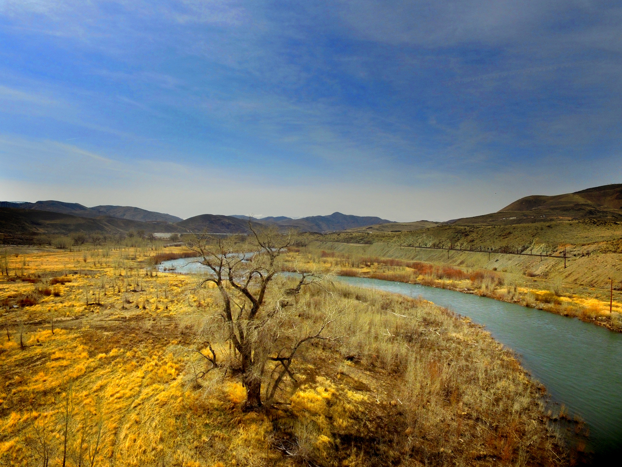
Red Horses needed to be able to see what kind of vegetation was present at various waypoints along this reach of river in a restoration project they are working on. While it was all technically accessible by foot, it would have taken all week to slog into the wet, muddy and overgrown areas. The drone at 100 feet above the ground was able to access all of the locations easily and provide images that they were able to use to assess the vegetation communities present.


View From Above
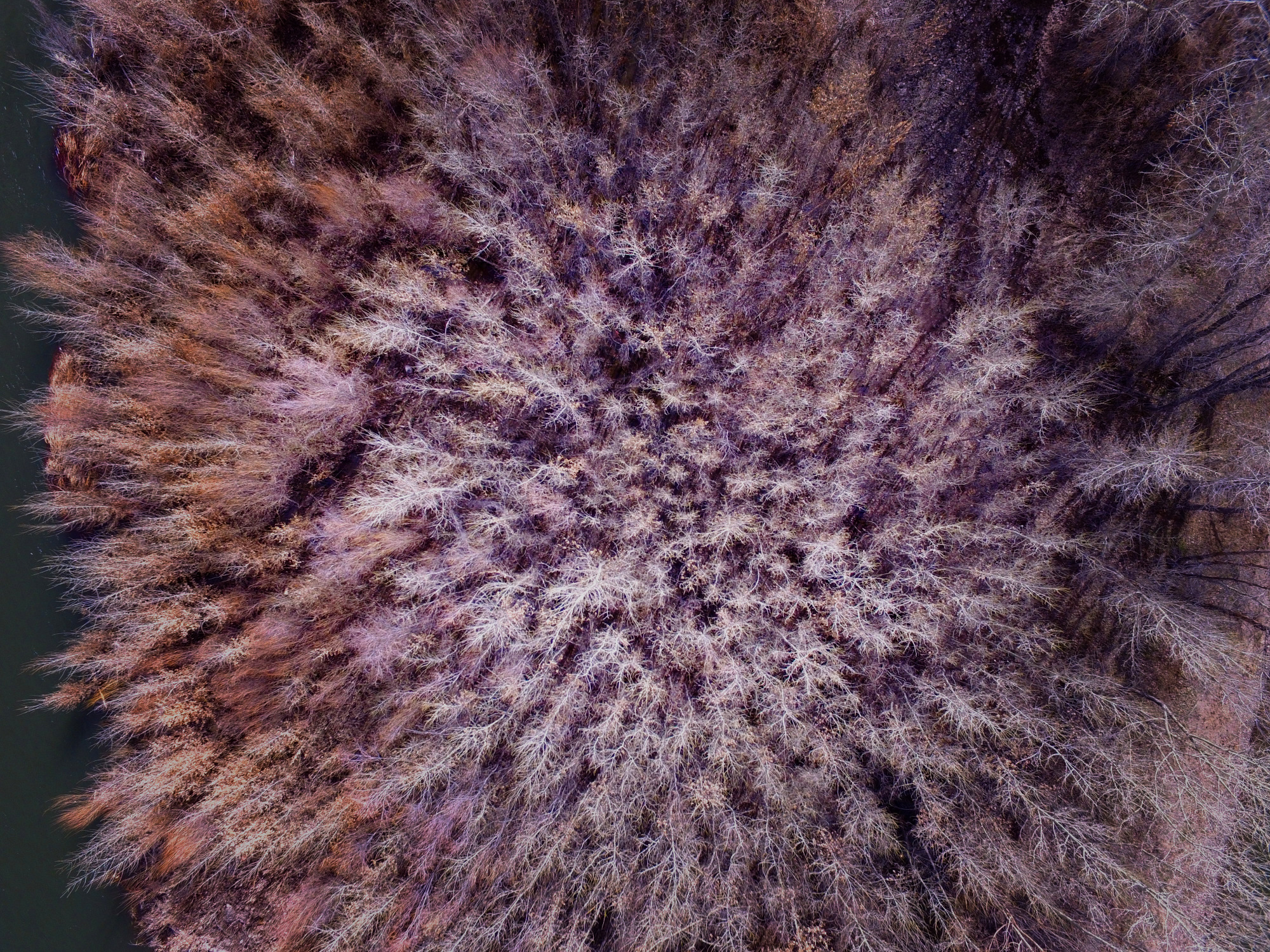
This project had a lot of different ecosystems to look at. This area of short willows, as you can see was right at the edge of a big stand of tall cottonwoods. The images have enough detail for the client to get the information they needed from 100 feet. If needed I could have dropped the drone at each waypoint to get a closer view. Along with the down-looking images at each location, I shot many forward-looking images and videos as well which the client found very helpful.
Automated Drone Flight
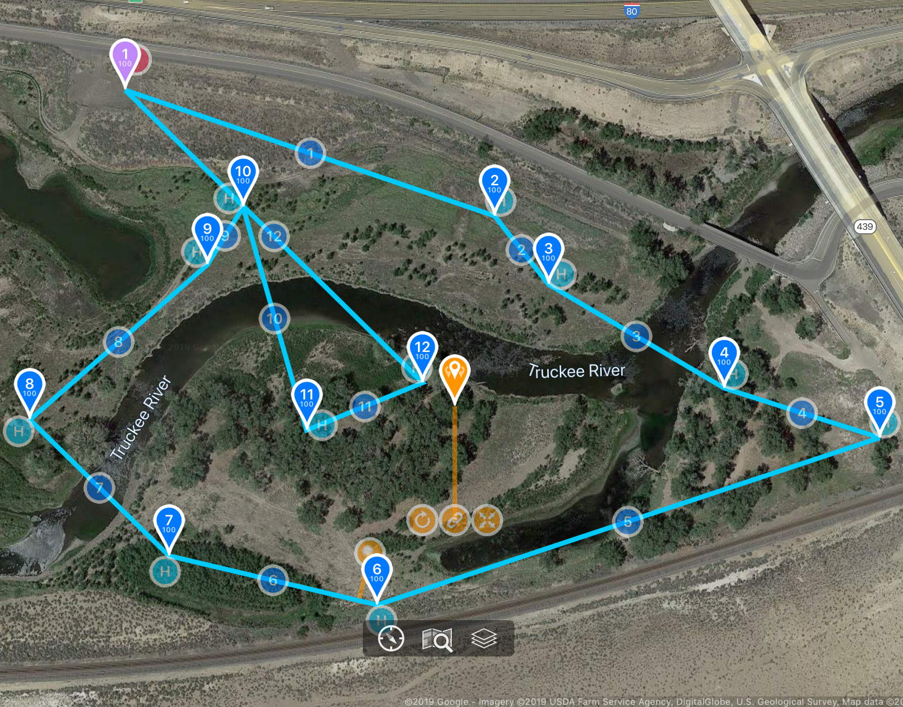
Red Horse initially sent me a GPS file with all of the points they needed to get photos at the site. I was able to open that file up in Google Earth, break the points out into groups the drone could fly on a single battery. I then exported them as a GPX file and imported them into an iOS autopilot app where I could program the flight and all the imaging actions such as stopping at each waypoint, looking down, taking a photo and moving on.


Drone Safety
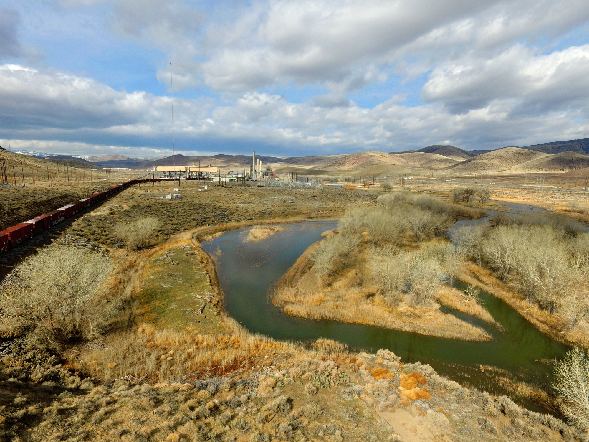
There were a lot of hazards on this project. From 80 Foot tall cottonwood trees to power lines of all heights to a 260-foot lighted radio tower. As a Licensed Remote Pilot under FAA part 107, I use VFR sectional charts to understand airspace and obstacles in the areas I fly. I used maps, VFR charts and on-the-ground observations to create flight plans to do this job safely and without incident. I also am insured every time I fly for commercial purposes, because it's too important to take any chances...
